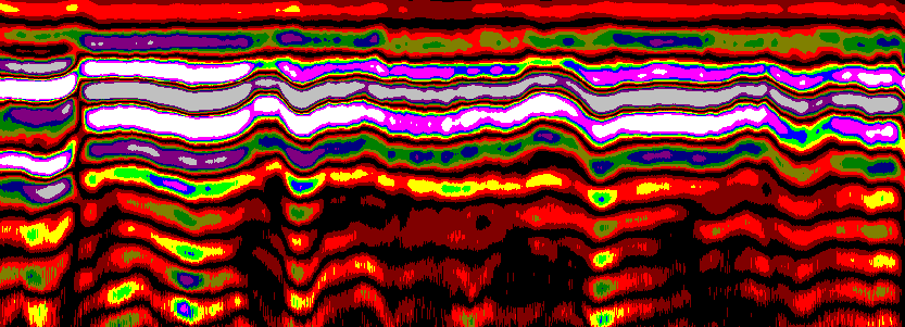
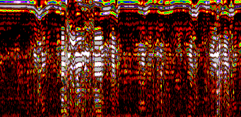
Concrete Scanning
- Find delamination, voids, cracking, water intrusions and general degradation with high resolution 2D imagery
- Depth and exact locations marked in the real world paired with reporting
- Non-intrusive, rapid information collection and turnover
- Mapping rebar and utilities locations or other anomalies
- Accurate thickness measurement
- Under slab settlement of sediments
Typical Use Cases - Inspection of bridge decks and parking structures.
- Assessment of tunnel linings and retaining walls.
- Quality control in new concrete construction.
- Pre-restoration surveys of heritage concrete structures.
- Legacy concrete in dams, bridges, pillars, airports etc
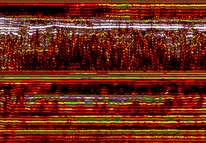
Asphalt Scanning
- Find voids and other objects within asphalt like piping
- Find hidden concrete under asphalt
- Depth of asphalt and granular thicknesses
- Road Radar, very long sections of road can be scanned quickly
- Find very fine, thin layers in road infrastructure
- Detect settlement zones or sinkholes, water accumulation
- Compaction assessment of granular and underlying sediments