2D MASW – Seismic Site Class Vs30
Evaluate high resolution 2D Vs Profiles up to 60m deep. Also applicable to slope stability studies and finding weak zones or voids.
Bedrock and Overburden Mapping
2D or 3D models of bedrock, or other noteworthy layers like till or hardpan. Several geophysical methods may be used.
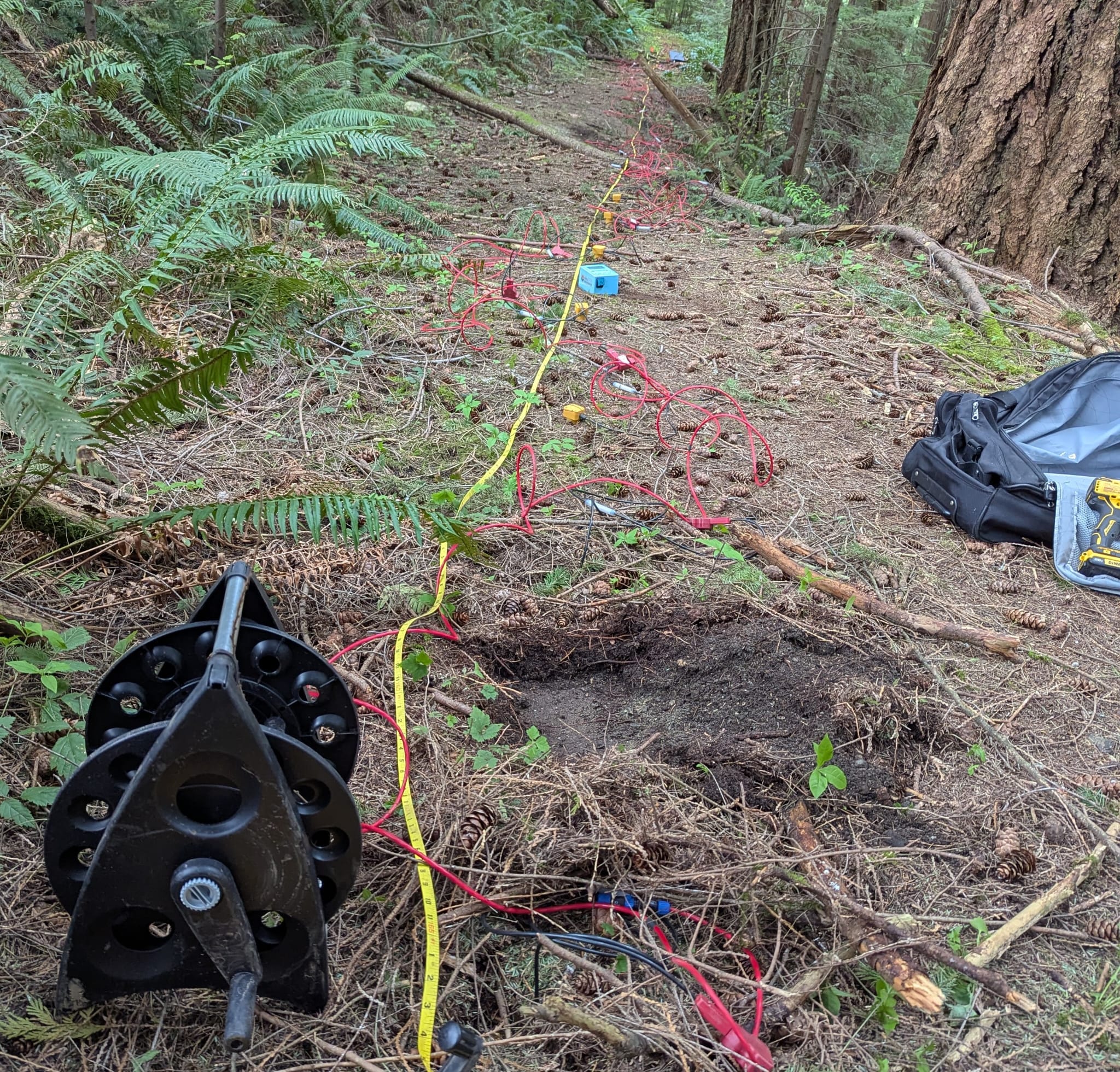
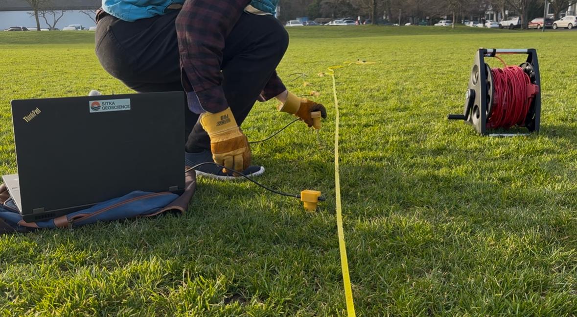
Resistivity
1D, 2D, 3D modelling of overburden structures with Electrical Resistivity Tomography.
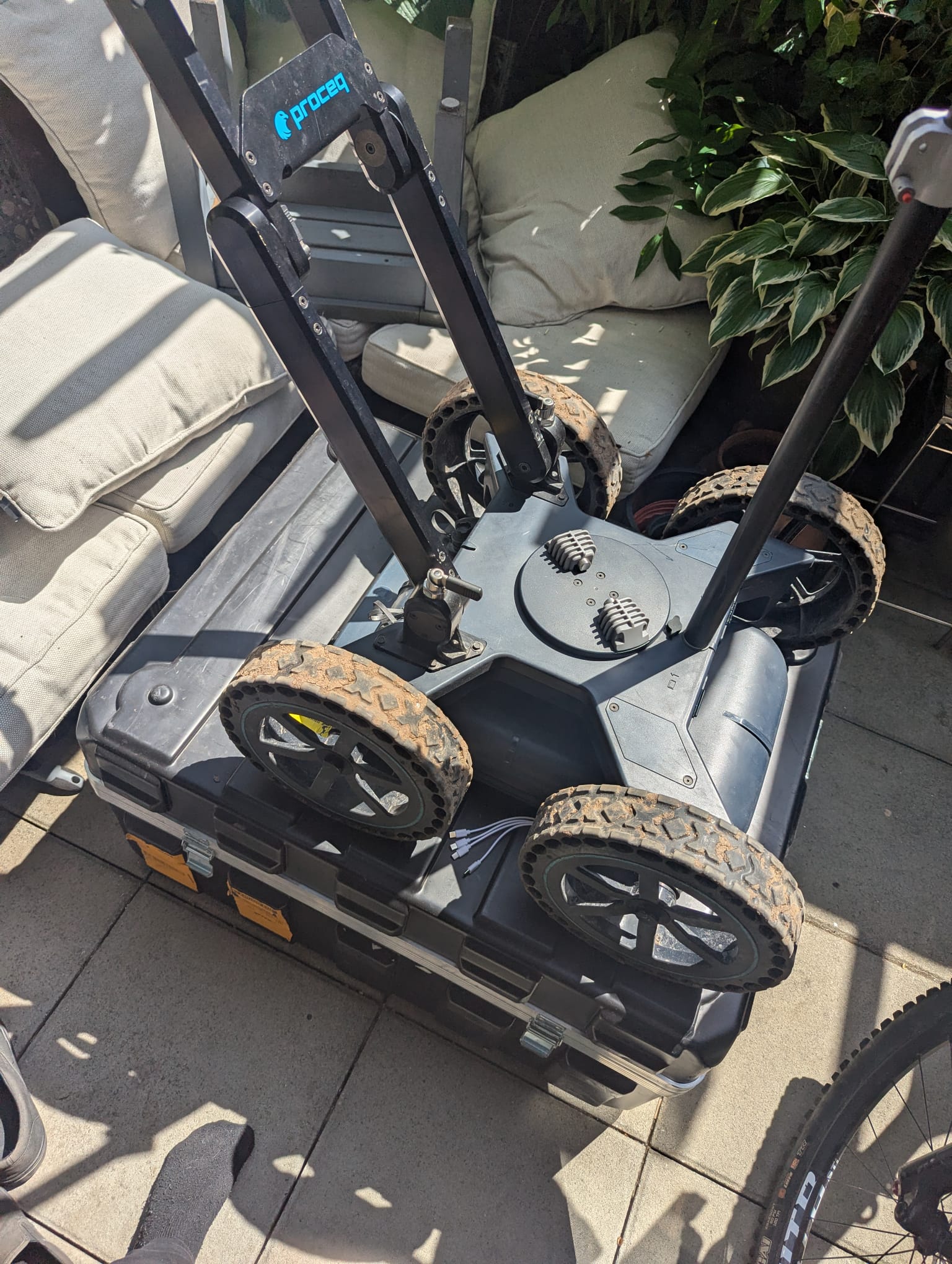
Ground Penetrating Radar
Detailed imagery of the near subsurface material. We have a full range of GPR frequencies for every task. 2D or 3D models are commonly delivered.
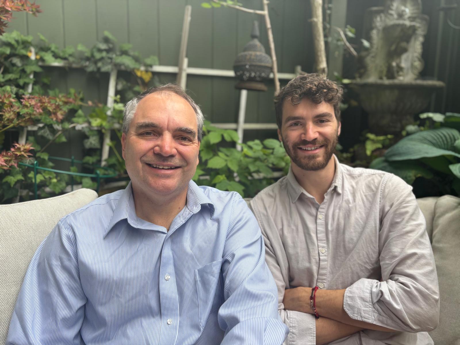
We are Sitka Geoscience
Milan Situm &
Anthony Situm
Our careers are dedicated to the world of Geophysics that is applicable to the Engineering world like Geotechnical, Mining and Civil Engineering fields.
Contact us
We are insured with WorkSafeBC and have Professional Liability Insurance through Paisley Partners
EGBC Registration Number – 1006007
P.Geo Certified – 63442