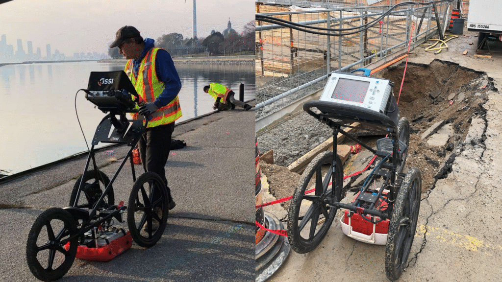
Ground Penetrating Radar
Features
- Full range of GPR antenna frequencies on hand from 50mhz to 2.6Ghz
- Detect features in the upper 10m of a medium. For Highly precise scanning for roads, concrete and other structural elements, see the Asphalt and Concrete Scanning page.
- 📏 Map subsurface features without digging
- 📊 Measure depth of detected objects or layers
- 🕵️ Scan concrete for safe coring or cutting
- 🛑 Avoid damaging utilities during excavation
- 🗺️ Create 2D or 3D maps of underground targets
- 🔬 Analyze subsurface conditions for engineering or environmental studies
Applications
- 🔹 Utility lines (metal, plastic, concrete — e.g. water, gas, sewer, electric)
- 🔹 Rebar and post-tension cables in concrete slabs
- 🔹 Voids or air gaps under pavement or soil
- 🔹 Concrete thickness, voids, delamination, degradation etc
- 🔹 Tanks, drums, and buried debris
- 🔹 Rock layers or soil stratigraphy
- 🔹 Archaeological features (walls, pits, artifacts)
- 🔹 Sinkholes or unstable ground
- 🔹 Buried objects, concrete under pavement
- 🔹 Ice depth or layers in snow/ice (e.g., in glaciers)
- 🔹 Water Intrusions into concrete or other mediums


